

Bringing the land profile to your desktop.
Since 2012, Shreyas Infra has surveyed highways, railways, smart cities, dams, ports and airports across India. We capture the ground with our own LiDAR, drone and DGPS fleet, then turn it into survey-grade maps, contours and CAD for engineers and contractors.
Choose your mission.
Nine survey disciplines, one in-house team, from first ground control point to final CAD delivery. Hover a card to see what you get.
Pick your loadout.
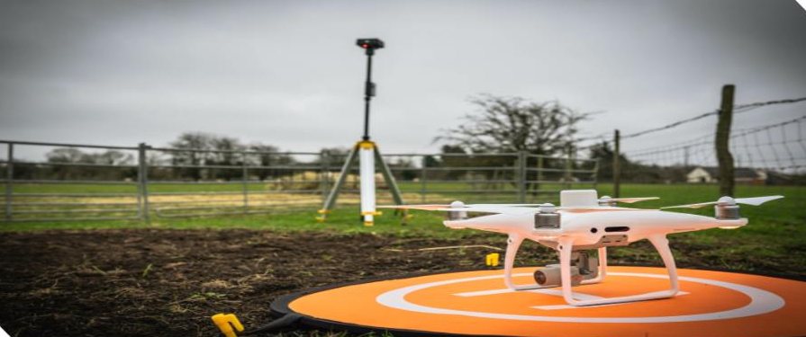
We own and operate our equipment, so we're never waiting on a rental. Select an instrument to see what it does best.
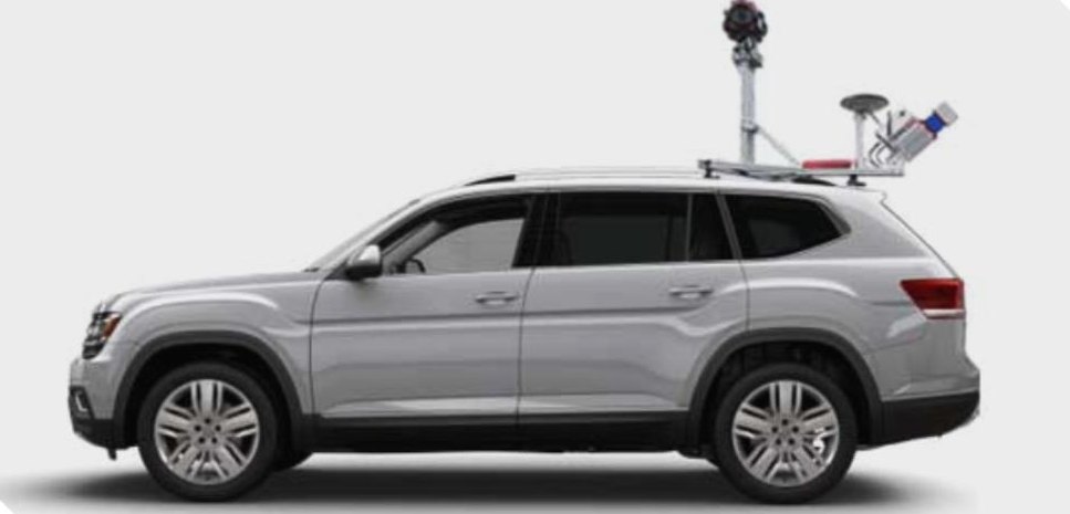
Classify the cloud.
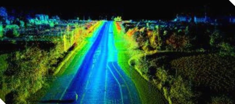
A raw scan is millions of grey points. We classify every one of them into ground, trees, buildings, water and power lines. Try it: turn on each class and drag to rotate the scene.
Point classes
Tap a class to run our classifier on it.
Up to 100 km/day of road corridor with our own scanners.
Manual trajectory adjustment and point cloud matching to GCPs.
Ground, trees, water, buildings and power lines, plus every visible asset.
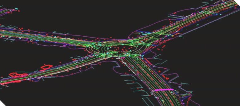
Clean topo, spot heights, break lines and 0.5 m contours, ready for DPRs.
Can you beat a total station?
Our total stations measure to ±2 mm. You get three shots at a moving benchmark. 1 pixel = 4 mm on the ground. Good luck.
CLICK / TAP THE CENTRE OF THE TARGET
Human vs instrument
The gap between a good eye and survey-grade gear is the gap between a rework and a DPR that holds up.
Territory we've mapped.
Our LiDAR, drone and ground surveys feed DPRs, feasibility studies, as-built surveys and asset management across these sectors.
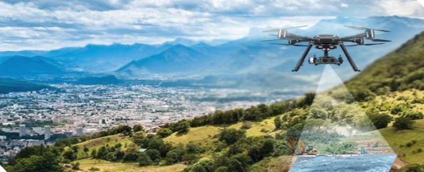
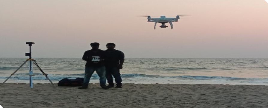
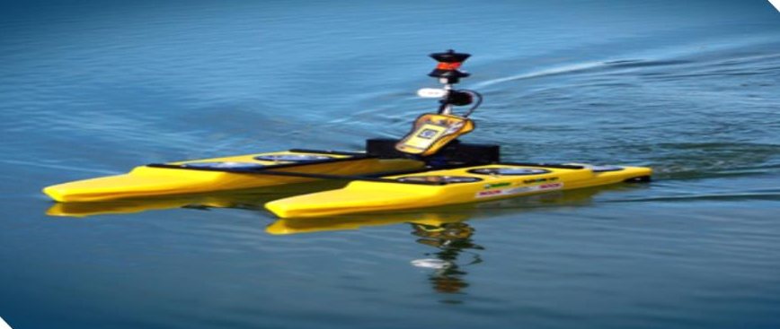
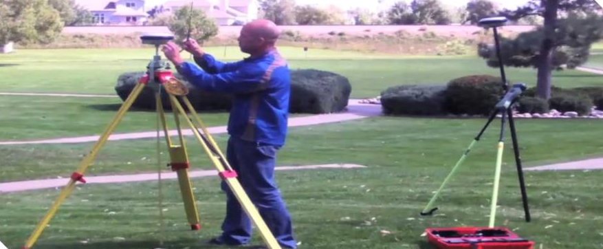
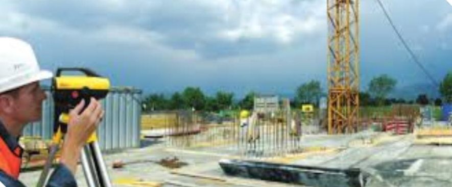
On the ground. In the air. On the water.
Trusted by the people who build India.
Government departments, PSUs, consultants, EPC contractors and universities, in India and on a few projects abroad.
Precision is a habit, not a feature.
Founded in Bengaluru in 2012, we've grown from topographic surveys to India-wide mobile and aerial LiDAR. Our in-house team turns field data into topographic maps, contours and cross-sections for detailed project reports and feasibility studies. Every deliverable goes through a strict QA/QC process before it leaves our desk.
"Bringing the land profile to your desktop, with the latest technology and service that meets every requirement."
Brief us on your next site.
Send the location and scope. We'll come back with the right method, timeline and quote.
No.27/A, Shop No.1, 1st Floor, Thangavelu Building, 3rd Cross, Nethaji Nagar, near Jalahalli Cross, Bengaluru